
Maps and Data
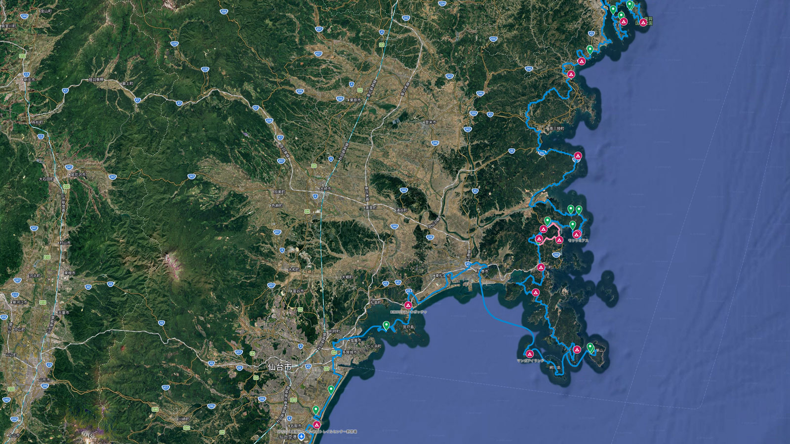
Route information is a must for those who want to hike this over 1000 kilometer long trail. Michinoku Trail Club has made the MCT route available online as a Google Map, and also provides downloadable official GPX files that you can use on your smartphone or other device. This means you can check the route on your smartphone as you walk, but lots of things can go wrong if you only use the smartphone data. Your phone’s battery could run out, and there are also places on the MCT route that don’t have good phone reception. Please make sure to bring the physical Hiking Map Book(s) that correspond to the area you plan to hike.
You should also know that the trail course has detours around construction on roads, etc, because Tohoku is still rebuilding from the 2011 tsunami. Make sure to gather information about the areas you plan to hike by looking at the alerts.
-
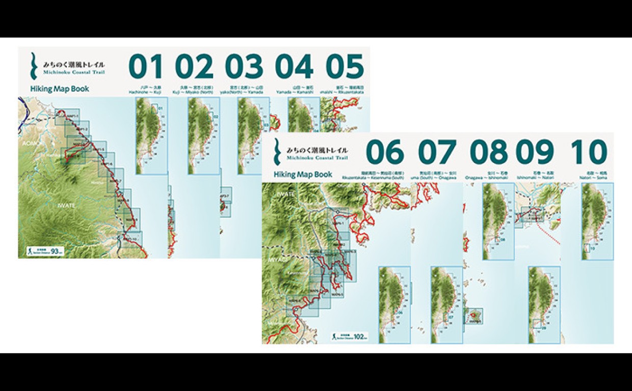
Data Book, Maps
The Hiking Map books show maps and other information for each section of the MCT, while the Data Book provides information on places along the entire route. Make use of both to make the most of your planning and your time on the MCT.
-

Online Map, GPS Data
Download map data to your smartphone so you can check the Michinoku Coastal Trail route on your phone, wherever, whenever.