

Data Book, Maps
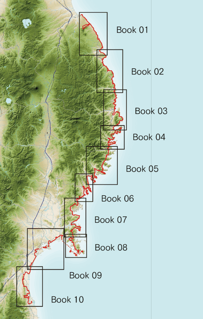
Hiking Map Book, Version 2
Sections
- Book-1 Kabushima to Kuji Station (Hachinohe to Kuji), 100 km
- Book-2 Kuji Station to Settai Station (Kuji to Miyako), 102 km
- Book-3 Settai Station to Rikuchu-Yamada Station (Miyako to Yamada), 121 km
- Book-4 Rikuchu-Yamada Station to Kamaishi Station (Yamada to Kamaishi), 130 km
- Book-5 Kamaishi Station to Rikuzentakata Station (Kamaishi to Rikuzentakata), 139 km
- Book-6 Rikuzentakata Station to Motoyoshi Station (Rikuzentakata to Kesennuma), 109 km
- Book-7 Motoyoshi Station to Onagawa Station (Kesennuma to Onagawa), 125 km
- Book-8 Onagawa Station to Ishinomaki Station (Onagawa to Ishinomaki), 94 km
- Book-9 Ishinomaki Station to Natori Trail Center (Ishinomaki to Natori), 88 km
- Book-10 Natori Trail Center to Matsukawaura (Natori to Soma), 104 km
Details
- Weight: 36g (per book)
Size: A5
For a list of places selling the Hiking Map Books, click here
Michinoku Trail Club created new Hiking Map books, which have been available for purchase since October 2020. This switch to selling map books (from previously distributing older maps for free) will help make sustainably managing the MCT in the private sector possible.
In addition to showing the MCT route, the Hiking Map Books show the information hikers need: elevation changes, places hikers may want to visit on their walk (including satellite facilities, places to get water, restrooms, places to stock up on food, restaurants), the distances between each point, and more. They cover most of the information you should need for planning your journey, and during your hike.
Each Hiking Map Book also has basic information about what that section of the trail is like, access information, weather data, and local contact information, which can serve as a reference for working out details like figuring out how to get there and what gear and clothes to bring.
One Hiking Map Book contains information for 100 kilometers of the trail, so the over 1000 kilometers of the whole MCT course is covered by a compact 10 book set. One Hiking Map Book weighs about 36 grams. The A5 paper size (about the size of a paperback book) makes the maps easy to carry.
Enjoy your time on the Michinoku Coastal Trail with a Hiking Map Book as your trusty companion!
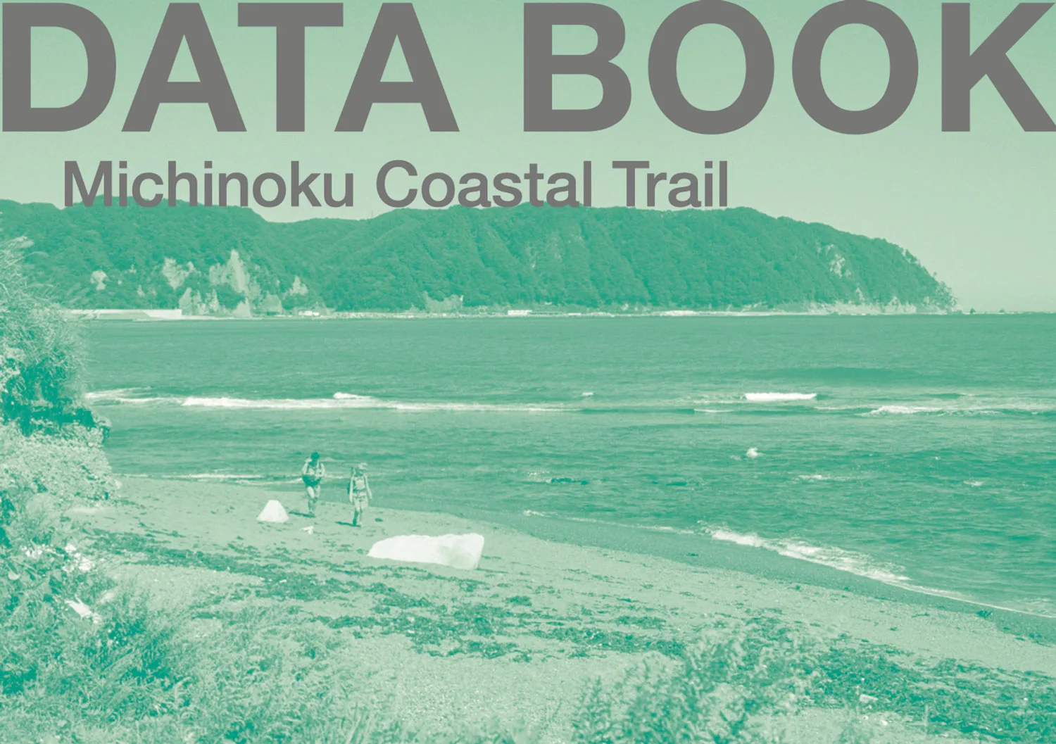
Data Book
The Data Books covers information on places along the entire Michinoku Coastal Trail course.It contains information useful for hikers that didn’t fit on the Hiking Map Books. Data books are well known to thru-hikers of long distances trails like the Pacific Crest Trail or the Appalachian Trail, for example, with hikers planning their journey while consulting both their maps and their data book.
Size: A5
Price: 1,760 yen (tax included)
This Data Book is packed with information on points of interest along the entire Michinoku Coastal Trail.
It contains useful information for hikers walking the Michinoku Coastal Trail that could not be included in the Hiking Map Book.
The term “Data Book” may not yet be very familiar in Japan, but it is common among hikers in the United States. Hikers tackling long-distance trails that traverse the continent use these books in conjunction with maps to plan their routes.
While the “Hiking Map Book” also included information on major points along the trail, this “Data Book” goes into even greater detail, covering “cumulative distance from the trailhead and trail end,” “distance between points,”“elevation gain and loss,” “nearby stations,” “restrooms,” “water sources,” and “shops”—all meticulously collected by hikers who have actually walked the trails, covering the entire route.
This Data Book was created from a hiker’s unique perspective—for hikers—to help calculate the distance from the day’s start to finish, check for resupply spots, lodging, and rest areas, and assess the extent of the trail’s elevation changes.
It is the same A5 size as the Hiking Map Book.
Please be sure to use this in conjunction with the “Michinoku Coastal Trail Hiking Map Book” when planning your hike.