

Area Highlights
The “Michinoku” part of “Michinoku Coastal Trail ” is said to be an accented pronunciation of “michi no oku” or “the end of the road.” A “michi no oku” is also mentioned in the Kojiki (the “Records of Ancient Matters,” an early Japanese chronicle). The “road” part of the end of the road refers to the “five provinces and seven circuits,” administrative units that were created as part of the ritsuryo legal/government system in the latter part of the 7th century. One of these circuits (roads) was the “Tosando” or “eastern mountain circuit,” running from around Nara through the mountains to the east, going through what is now Tochigi Prefecture. The place furthest from the capital and at the end of this circuit was known as the province at the end of the road, “Michi no oku no kuni,” or later “Mutsu no kuni.”
Here we introduce the over 1000 kilometers of our course at the end of the road, in “Michinoku,” in three sections.
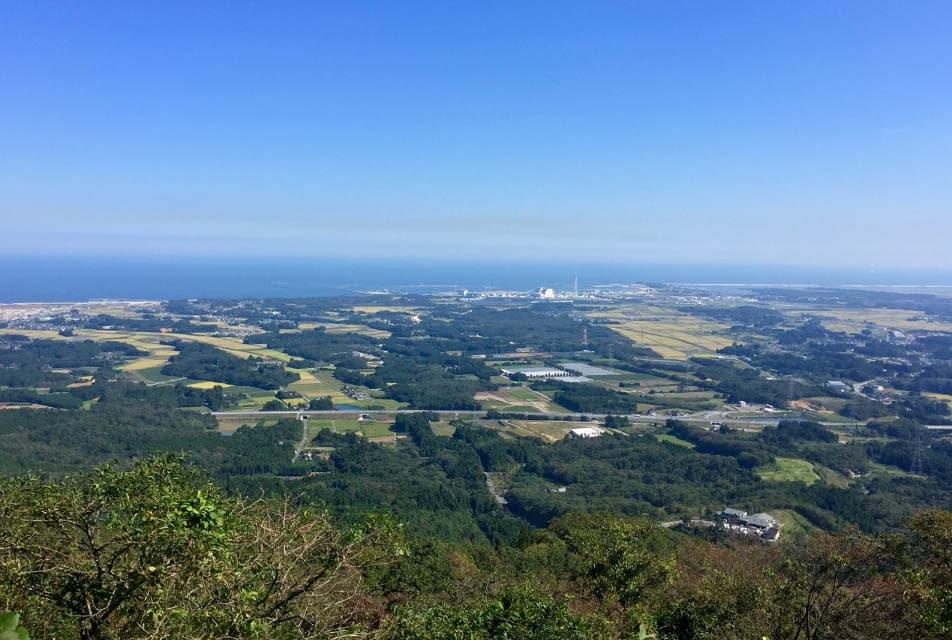
Southern Section: Sendai Plains Area
The southernmost point of the Michinoku Coastal Trail is Matsukawaura Environmental Park in Matsukawaura, Soma, Fukushima Prefecture. Begin your walk here and you will go through low mountains at the northern end of the Abukuma Mountains, then going north through the Sendai plains, the largest plains in Tohoku, until you reach the western part of Ishinomaki City in Miyagi Prefecture. The Sendai plains were formed approximately 10,000 years ago, after the end of the last ice age, as sediment carried in by several rivers gradually filled in what was once ocean, offering a wide unobstructed view of the sky compared to other areas. The gentle arc of the coastline of Sendai Bay, with its wide open sandy beaches, is lovely. This area also holds what were once provincial capitals, political centers for the “province at the end of the road” (Mutsu Province): the Koriyama Ruins in Sendai and Taga Castle Ruins in Tagajo City.
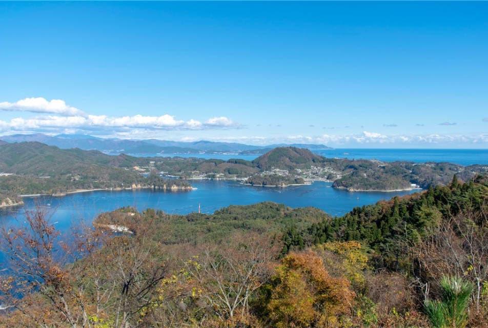
Center Section: Ria Coastline Area
Pass through Ishinomaki City center to then reach the Oshika Peninsula, the southernmost part of the Kitakami mountains. You can enjoy the ria coastline in the area between here and Miyako in Iwate Prefecture. The ria coastline here was formed around 10,000 years ago, as ocean water flowed into and eroded the valleys between mountains, leaving a coastline characteristic for its zig-zag series of peninsulas reaching into the sea followed by deep bays. The MCT route also zigs and zags, often following these peninsulas and bays: a great area for getting your fill of the sea breeze. Look at these peninsulas from further away and you can see they share a flat surface of about the same height. In fact, this area is coastal shelf, just like the northern section.
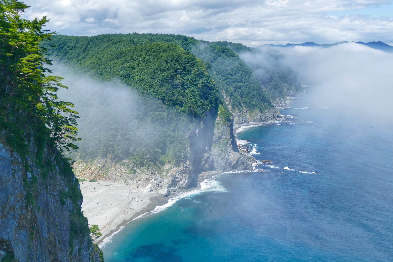
Northern Section: Coastal Terrace Area
Starting in Miyako City, Iwate Prefecture and ending at the trail’s northern terminus at Kabushima, Hachinohe, Aomori, the coastline straightens out and forms many cliffs right next to the ocean. Situated along this coastline are coastal terraces, flat surfaces that emerged above ground one after the other at the shoreline several tens of thousands of years ago. The coastal terrace around Kabushima in Hachinohe is ten-something meters high, while the coastal terrace around Tanohata in Iwate Prefecture is as high as 200 meters. The upper portion of this coastal terrace is flat and easy to walk, but because there are various small and large valleys carved into the terrace, it is also a challenging hike with a lot of elevation difference to enjoy. This course along the shore climbing up and down craggy rocks will excite your sense of adventure.
Not only can you enjoy the breathtaking scenery created by the land and sea, but you can also experience the flora and fauna nurtured by them, as well as the local way of life and culture, all at a leisurely walking pace.
Another major attraction is the opportunity to savor the delicious seafood from the Sanriku coast—one of the world’s leading fishing grounds—throughout all four seasons. Furthermore, because this “trail” stretches over 1,000 km, you’ll be able to notice the subtle differences between each region.
Come experience the diverse riches of the Tohoku coast firsthand through the “Michinoku Coastal Trail.”