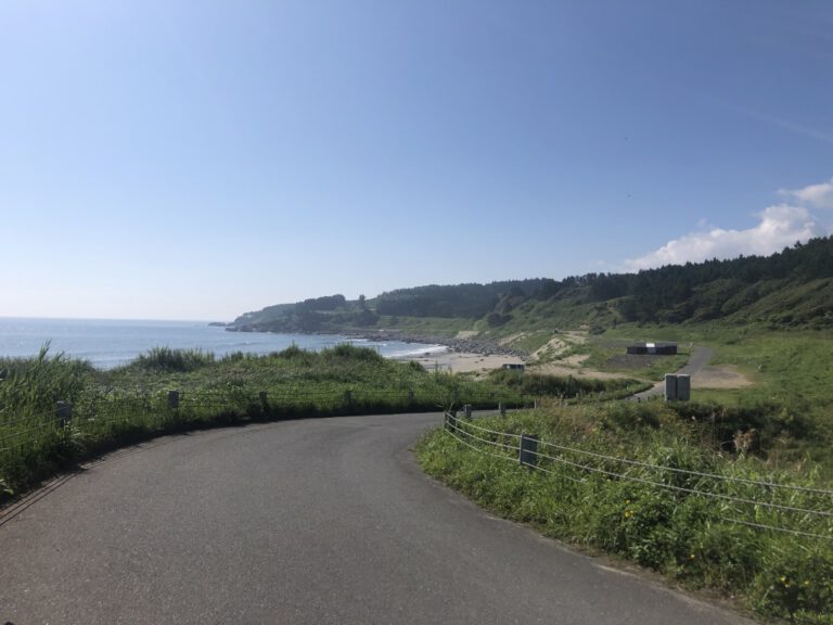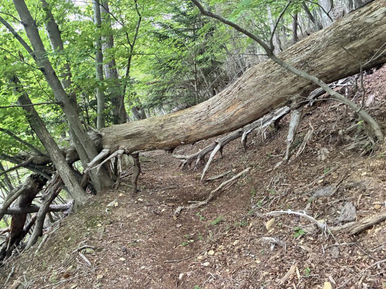

One point to be aware of when hiking the Michinoku Coastal Trail is the river crossing at the Koge River, located on the border between Hirono Town and Kuji City in Iwate Prefecture.(Hiking Map Book 1-8)
This is a point where two streams—each about 3 meters wide (with a sandbar in the middle)—flow side by side. Since there is no bridge, this is an adventurous section where you are expected to wade through the river to cross. Please understand from the outset that “wading through the river to cross” is a prerequisite.
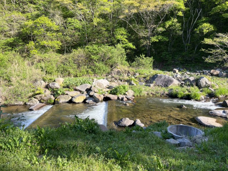
(The photo below shows the Takaya River during a relatively calm period when the water level is knee-deep.)
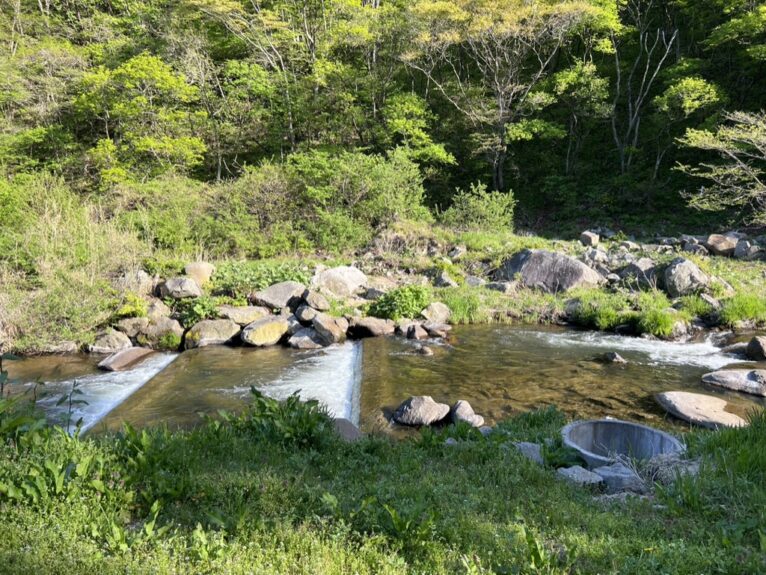
What is the water level of the Takaya River today?
We occasionally receive inquiries like this at the Natori Trail Center, but unfortunately, we cannot answer them because we do not have information on the daily conditions on-site. We can only make an educated guess based on factors such as the rainfall over the past few days, but ultimately, we believe the best course of action is to assess the situation on-site. Additionally, in the spring, water levels may rise on a daily basis due to snowmelt from upstream.
Be especially careful! During the spring snowmelt seasonand for several days after heavy rain
Please use your own experience and physical condition, along with the local water level and current strength, to determine whether you can cross the river.
If you decide against crossing and take the detour instead, you’ll have to backtrack quite a distance and take a major detour. In particular, if you’re hiking northbound and take the detour, you’ll have to climb a steep slope again, which might make you feel tempted to push through and cross.
Even so, please do not attempt a crossing under any circumstances if it’s too dangerous. Even if you’ve already started crossing, if you feel it’s too difficult, please have the courage to turn back. Fatal accidents during river crossings have actually occurred both in Japan and abroad.
Click here for information on detour routes.
Where is the river crossing point?
If you’re walking south, there’s a pedestrian counter near where you reach the Takaya River. (Please click here first.)
I get the impression that most people cross in this area, but I’ve also heard from hikers that if you go a little further upstream, there’s a spot where the current slows down.
In any case, be prepared to get your feet wet. Whether you’re heading north or south, please use your own judgment to find a spot that looks safe to cross and enter the river there.
Please avoid walking on the weir itself, as the current is fast and the surface is slippery, making it dangerous.
How to Cross a River
There is no such thing as a “surefire” or “safe” way to cross a river. Recommended methods vary depending on the person or group. Please remember that, aside from safety measures involving ropes and equipment, most advice is based on rules of thumb.
It’s difficult to judge distances underwater, and what looks shallow is often actually deep. It’s generally recommended to walk by feeling your way with small, shuffling steps. Various techniques are suggested, such as facing slightly upstream, walking sideways like a crab, or moving diagonally from upstream to downstream—but there’s no single, set method.I believe this is because the flow of a natural river is not constant but constantly changing. When there is a flood, the riverbed itself changes, and the current can become like that of a different river—these are natural changes unique to rivers. How you walk depends entirely on your own judgment in the moment, and since I am not there, I cannot recommend any specific method.
□ The Takaya River is quite wide, so it’s best to assume that crossing it by hopping from rock to rock is generally not possible. Even if it were possible, there have been numerous cases where people have lost their balance on loose rocks, slipped, fallen, and been injured. Even for a short crossing, it’s safer to wade through the water rather than worry about getting wet.
□Avoid going barefoot, as this increases the risk of foot injuries. Also, avoid wearing sandals, as they create more drag in the water, making it easier for your feet to be swept away. We recommend crossing in shoes with good drainage.
□Trekking poles or similar walking sticks are useful for probing the riverbed and maintaining stability while crossing.
□If you fall or are swept away while carrying a backpack on your back, the buoyancy of the backpack could cause you to float face-down, putting you at risk of drowning. Unfasten the chest and waist straps so you can quickly remove your backpack if you fall in the river.
~~~~~~~~~~~~~~~~~~~~~~~~~~~~~~~~~~~~~~~~~~~~~~~~~~~~~~~~~~~~~~~~~~~~~~~~~~~~~~~~~~~~~~~~~~~~~~~~~~~~~~~~~~~~~~~~~~~~~~~~~~~~~~~~~~~~~~~~~~~~~~~~~~
The crossing of the Takaya River was incorporated into the route in honor of the late Noriyoshi Kato, the proponent of the Michinoku Coastal Trail, who consistently advocated for the importance of connecting with nature and dedicated himself to promoting long-distance trails as a way to put that into practice.
For hikers starting from the north, the Takaya River marks the entrance to a section with many physically demanding challenges ahead; for those starting from the south, it serves as the exit from that section.
Never push yourself beyond your limits. Especially when you feel a surge of excitement and think, “What the heck—let’s just go for it!”, that’s exactly when you need to take a step back and think calmly. Please keep this in mind as you safely cross the Takaya River.
-1-768x543.png)